
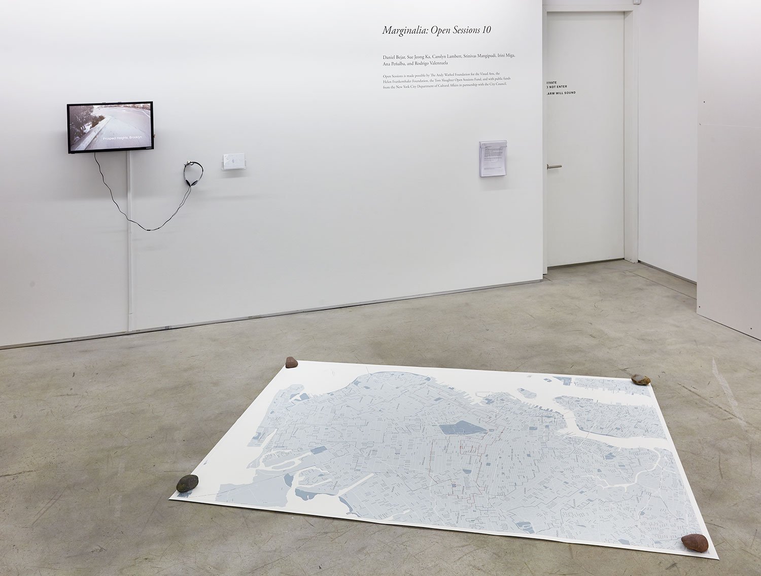
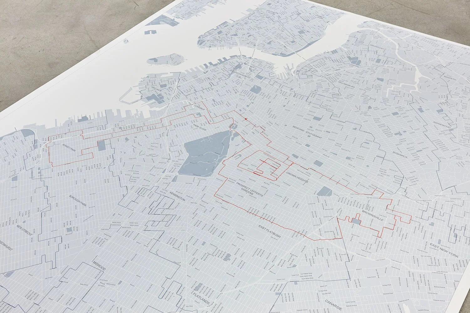
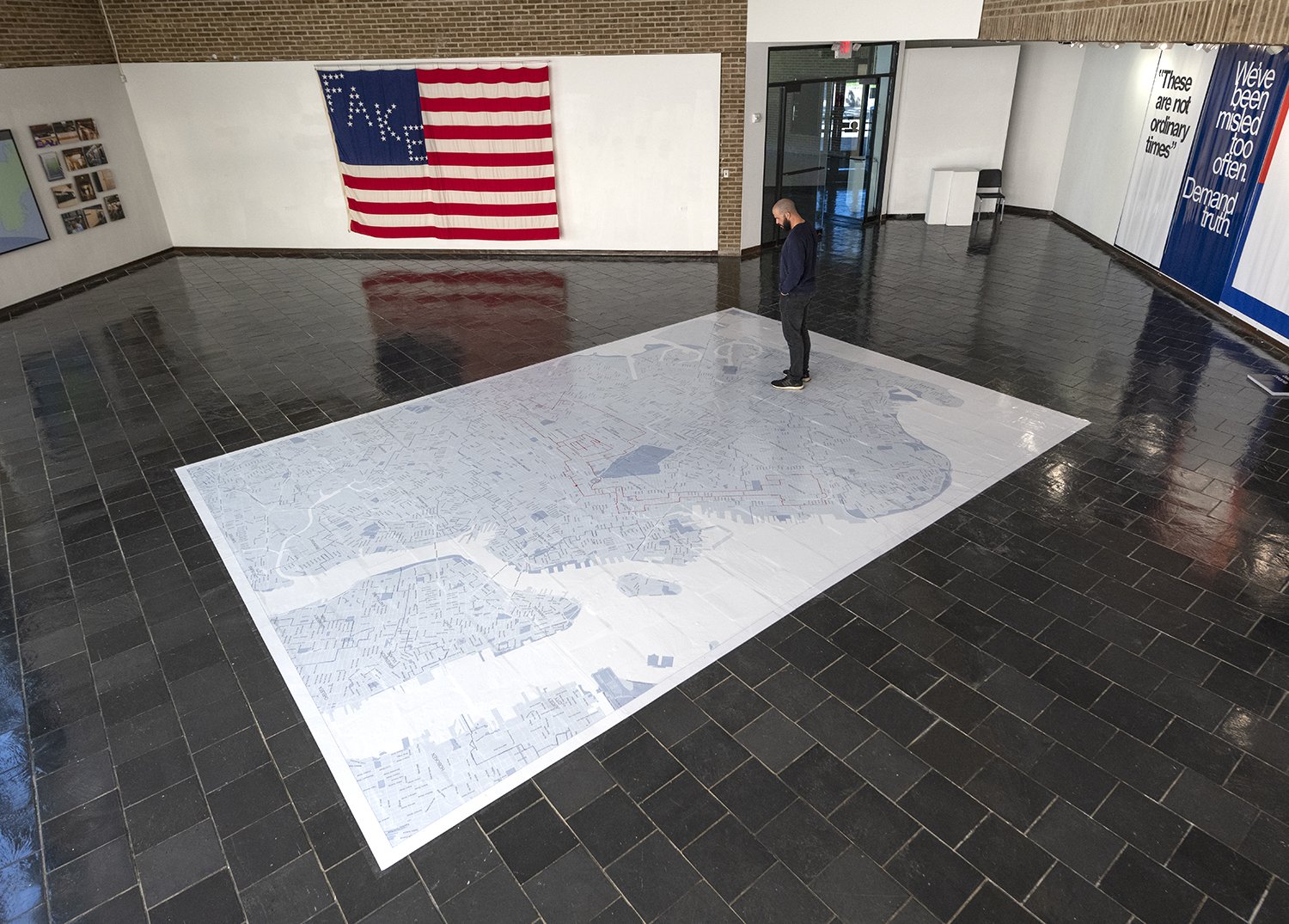
Re-districting (New York State Senate District 20)
2017
Site-specific GPS drawing, archival pigment print, single channel HD video
Variable dimensions
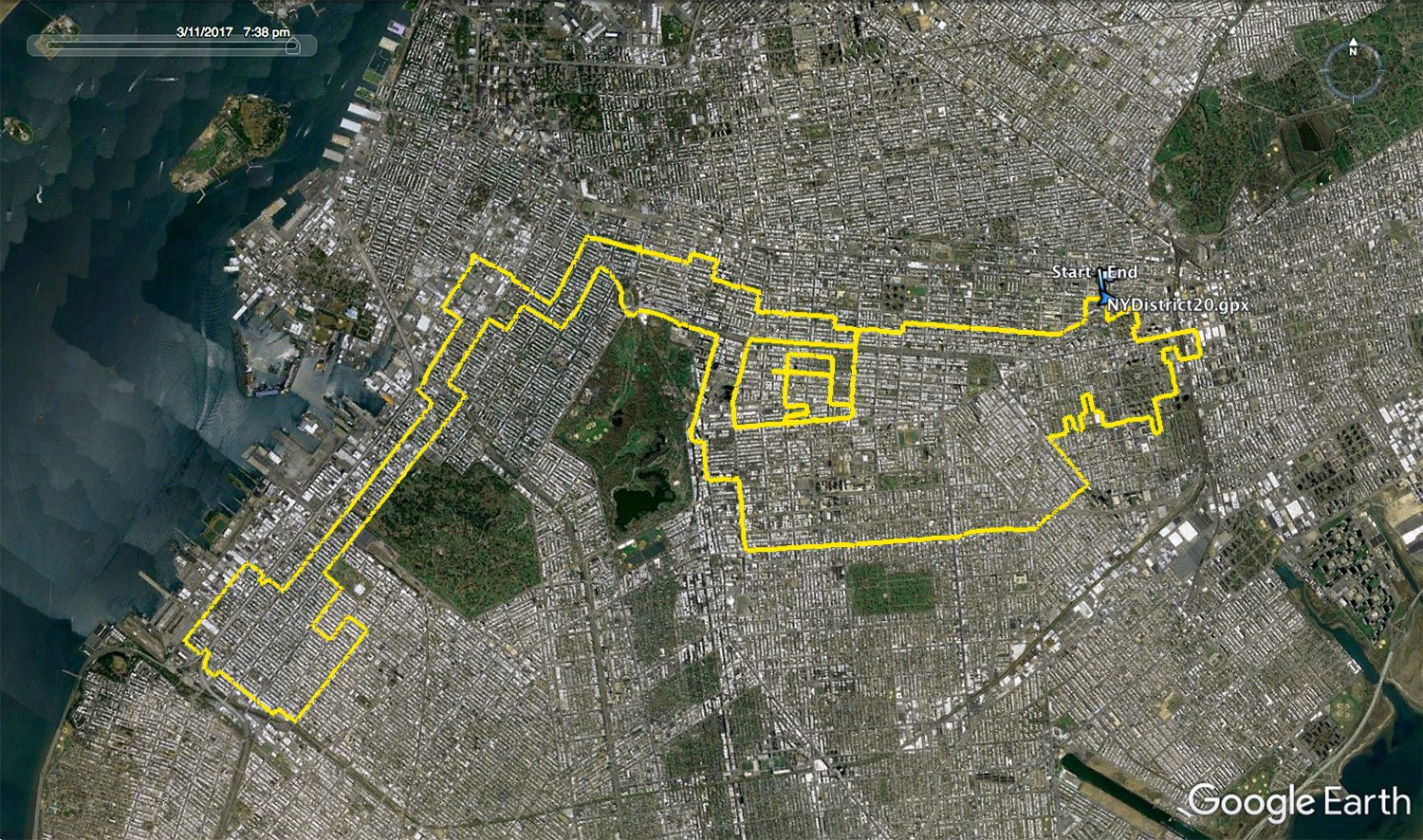
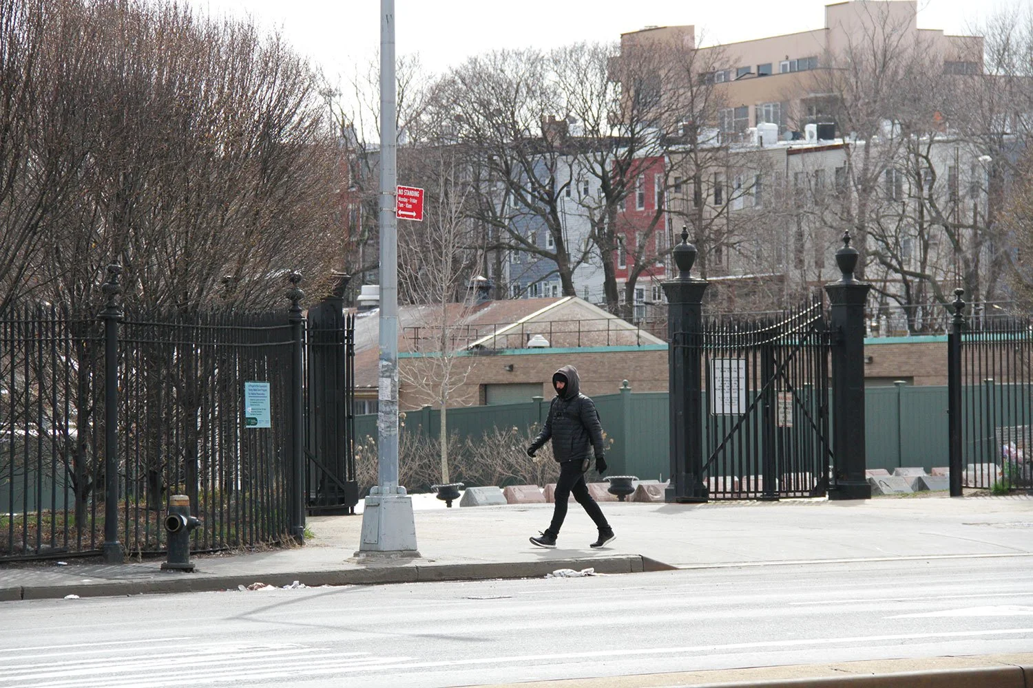
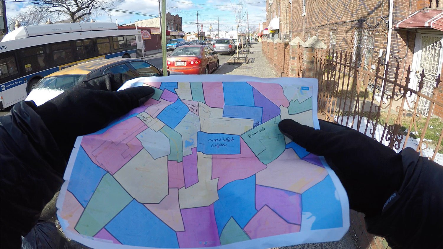
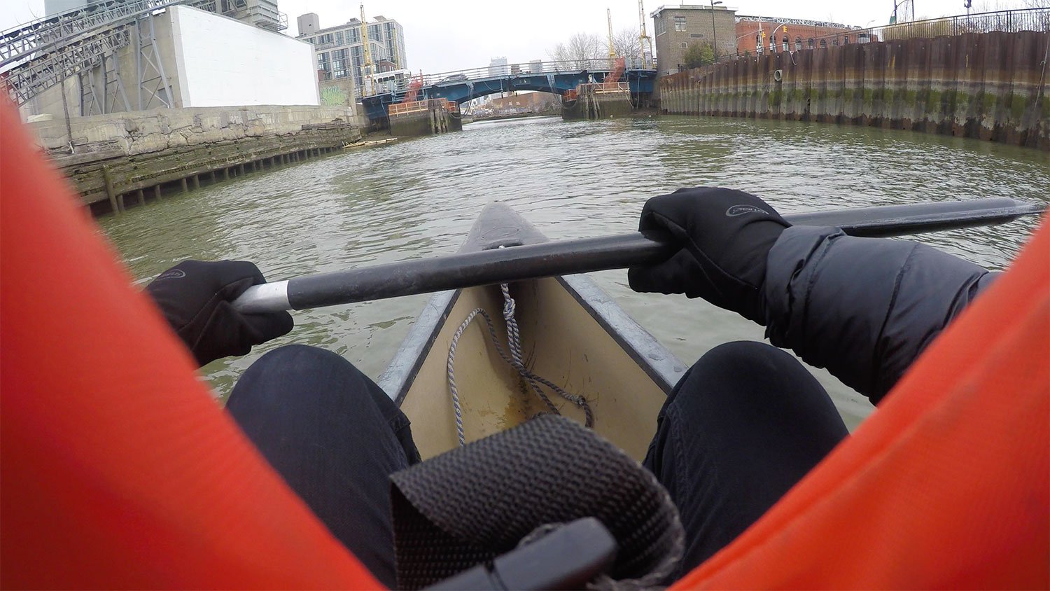
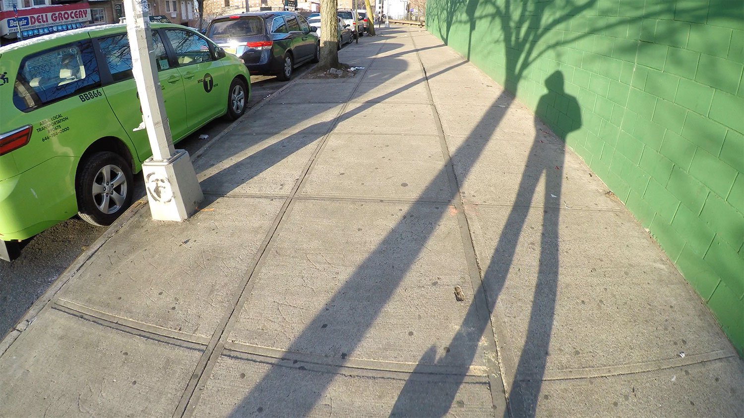
In Re-districting I took a walk with a GPS device that illuminated a gerrymandered New York State Senate District in Brooklyn nicknamed "The Steam Shovel District". Using a GPS device to track my walk and my body as the drawing instrument I traced the borders of NY State Senate District 20 during a 32 mile walk through the many diverse communities of the district. Along with the GPS data, video documentation from the various neighborhoods in the district was collected.
My redrawing of NY State District 20 reveals the districts calculated design and the absurdity of its shape while embellishing it with an equally absurd addition to its shape.
The GPS data collected through this gesture resulted in an immaterial line drawing on the landscape that reveals the district's invisible borders that were designed to sort communities for political gain.