


Agloe, NY
2014 - Ongoing
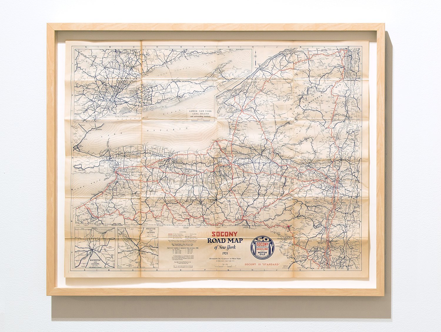
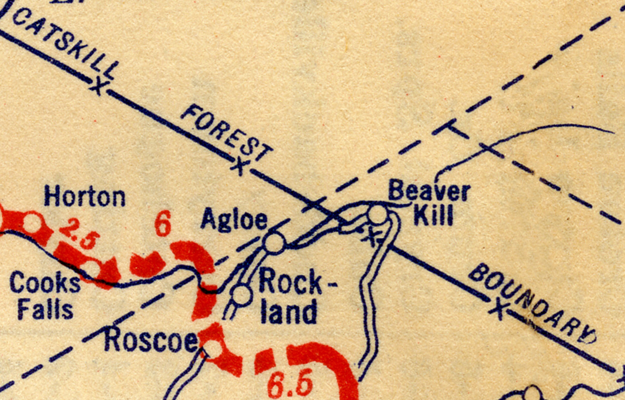
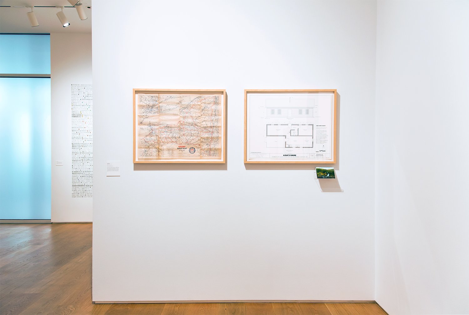
About 3 hrs. north of New York City, just outside of the Catskill Mountains, there is a fictional town named Agloe, NY. First appearing on New York State roadmaps in 1925, Agloe, NY was created by cartographers Otto G. Lindberg and Ernest Alpers for the General Drafting Co. as a copyright trap to reveal plagiarism of their roadmap. In the 1950's the town of Agloe appeared on the map of a competitor, Rand McNally. Seemingly plagiarized, the General Drafting Co. threatened a lawsuit for copyright infringement. But Rand McNally was innocent. In the intervening years, Agloe had entered into existence when a local resident built the Agloe General Store, officially registering the business with the Delaware County Administration, at the exact location where the cartographers had planted Agloe.
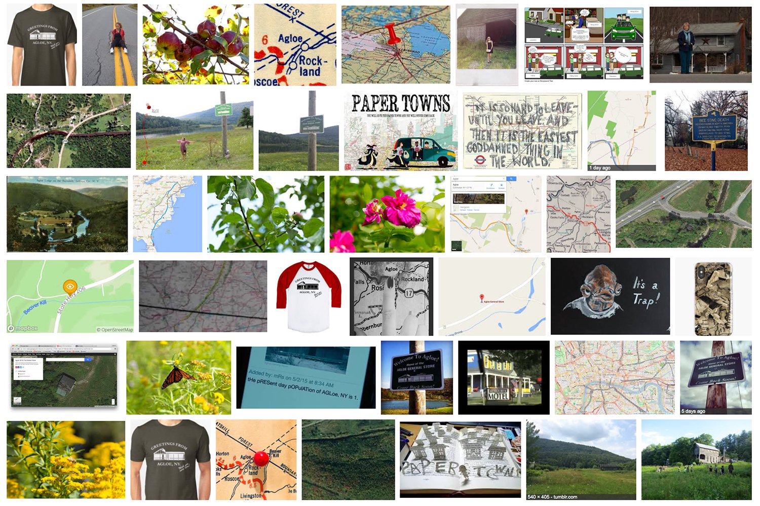
Eventually, the Agloe General Store went out of business, but Agloe continues to appear on paper roadmaps to this day and even appeared on Google Maps until it was deleted in 2014.
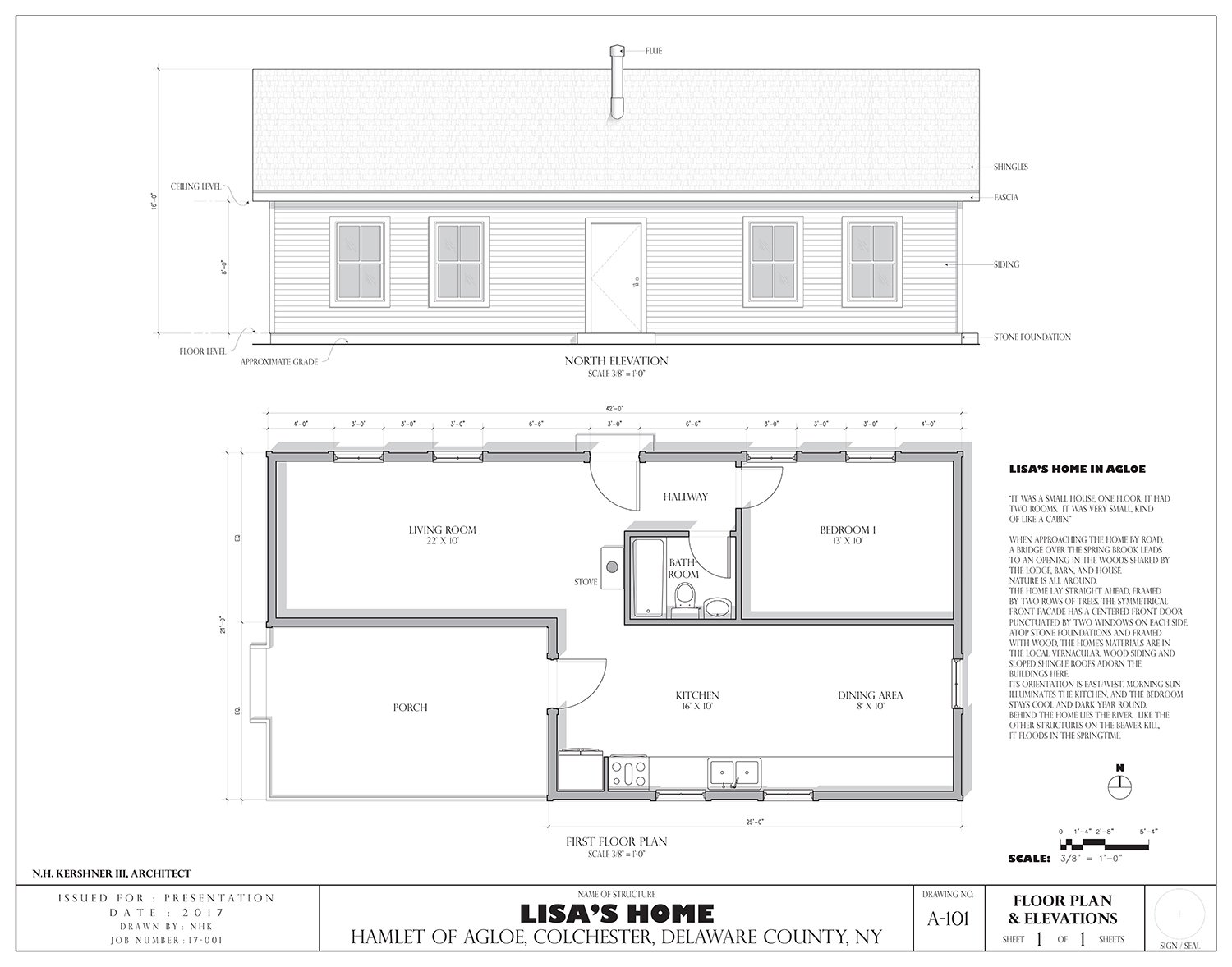
The larger Agloe, NY project challenges what defines reality, how we make reality, and ultimately how the fake can become real in our physical and digital worlds. The project is manifested through an oral history with the last living resident of Agloe, NY, as well as historical maps, architectural drawings, postcards, photographic documentation, and a Google image search intervention.